A vibrant city, Glasgow is within easy reach of some of Scotland’s most spectacular countryside. Follow the best hikes in and around Glasgow to explore charming villages, glistening lakes, emerald green forests, and Glasgow’s exciting murals.
It helps to know the local terminology. You will encounter “lochs” or lakes and “munros”, which are mountains of 3,000 feet or higher, officially recognized by the Scottish Mountaineering Club. “Bens” are mountain peaks, “glens”, narrow valleys, a “brae” a hillside or slope, and a “firth” an inland coastal waterway of a sea.
Here are 12 of the best hikes near Glasgow.
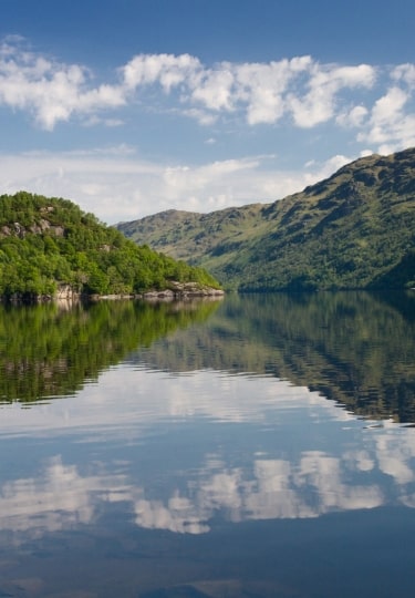
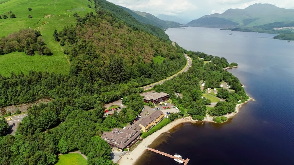
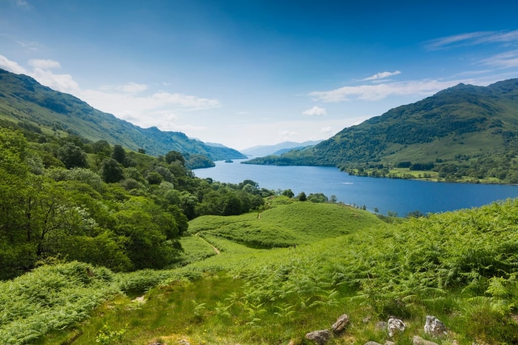
Loch Lomond & the Trossachs National Park
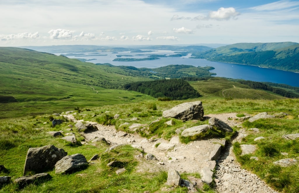
Trossachs National Park
Think of Loch Lomond and The Trossachs National Park as an impressive string of superlatives. The 720-square miles of lakes, forests, and munros became Scotland’s first national park.
Loch Lomond reigns as the largest inland lake in mainland Britain, and the park contains the Great Trossachs Forest, one of the UK’s largest national nature reserves.
Trossachs National Park
You can hike part of the 30-mile Great Trossachs Path that runs from Inversnaid and Loch Lomond in the west to Callander in the east. Spur trails and loops off the path lead you through easy woodlands walks to more difficult treks up hillsides for panoramic views.
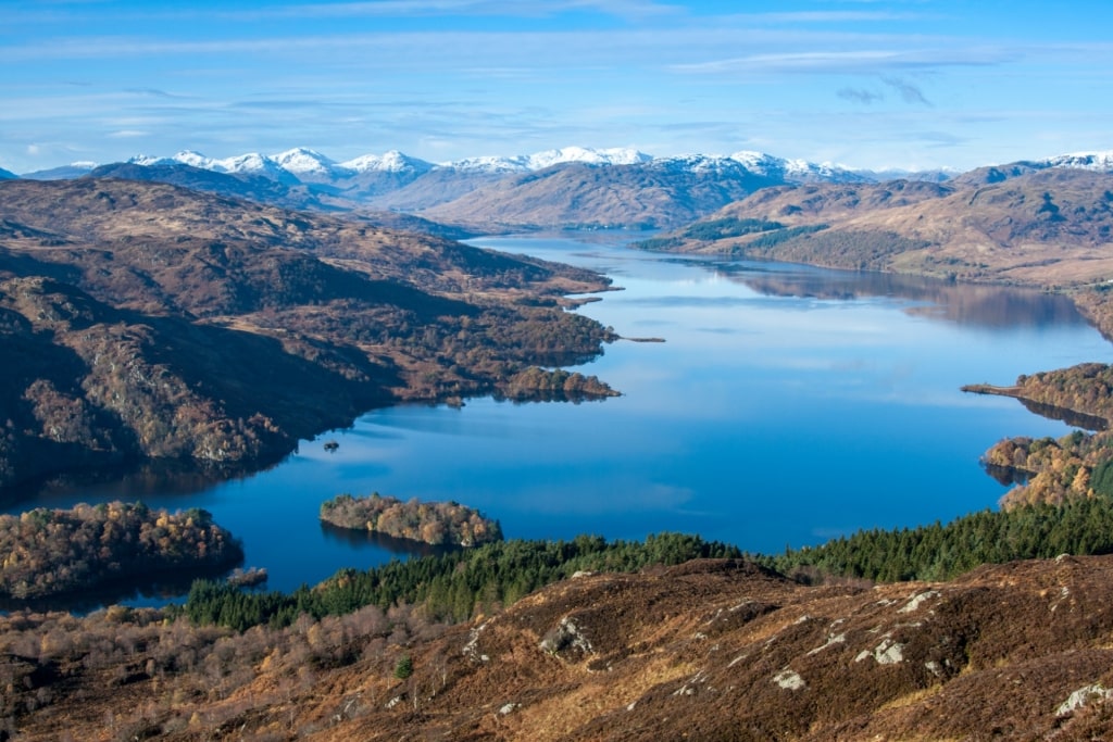
Loch Katrine
As you walk The Trossachs, you step along paths trodden by such famous British literati as William Wordsworth and Sir Walter Scott, who set his popular narrative poem “The Lady of the Lake” in and around the park’s Loch Katrine.
Instead of attempting to summit Ben Lomond, the southernmost munro in the park, a mighty task that could take four to six hours roundtrip, try the Ardess Hidden History Trail.
It’s a nearly mile-long woodland path that winds past farm building ruins, attesting to the people who farmed the land years ago. The park offers some of the best hikes near Glasgow.
Read: Best Lakes in Europe
Luss Heritage Trails
Luss Village
Not all hikes need to leave you huffing and puffing. For an easy walk through a picturesque village, stroll through Luss on the west bank of Loch Lomond within the Loch Lomond and Trossachs National Park.
The sandstone and slate cottages, many with rose vines, were built in the 18th and 19th centuries to house workers in the slate quarries.
Walk the Quarry Path to see the old mills, the River Path to view sheep in the meadows, and the Lochside Path through the village. From the pier, there’s a splendid view of Ben Lomond.
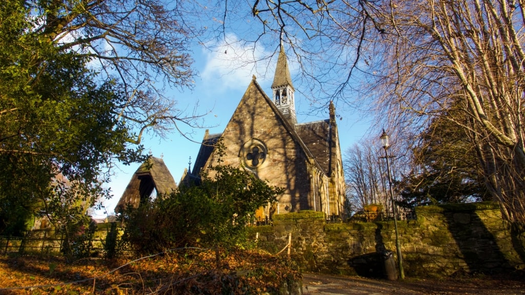
Luss Church
Combining the three walks, the Heritage Path takes about an hour-plus. Those interested in old gravestones should visit the Luss Church graveyard. Much older than the existing 1875 church, the earliest stones in the burial site date to the 7th and 8th centuries.
Glasgow Mural Trail

Glasgow Photo by jtweedie1976 on Flickr, licensed under CC BY 2.0
Street art is fascinating and fun. By walking Glasgow’s Mural Trail, you gain a new perspective of the city and of Glaswegians. The interesting and sometimes flamboyant, larger-than-life murals reveal gifted artists’ interpretations of the city’s history and humorous scenes.
The Glasgow City Council sponsored the project to brighten up drab streets and to encourage graffiti taggers to use their talents for community art. The project’s first mural appeared in 2008. Now, some 30 murals adorn the city.

Glasgow Photo by Graeme Churchard on Flickr, licensed under CC BY 2.0
Download a free Glasgow Mural Trail Map for your self-guided tour. The map starts at Strathclyde University near the Wonderwall mural, a paean to the achievements of the university staff that features the telescope once used to teach nautical astronomy.
Others depict greenery in Glasgow’s parks, a taxi lifted by balloons, a menacing crocodile, shadow hand puppets, portraits of people with yo-yos, and a café patronized by a zebra, bear, elephant, and a rhino. As you wind through the city streets, it’s easy to pause for a snack at a café.
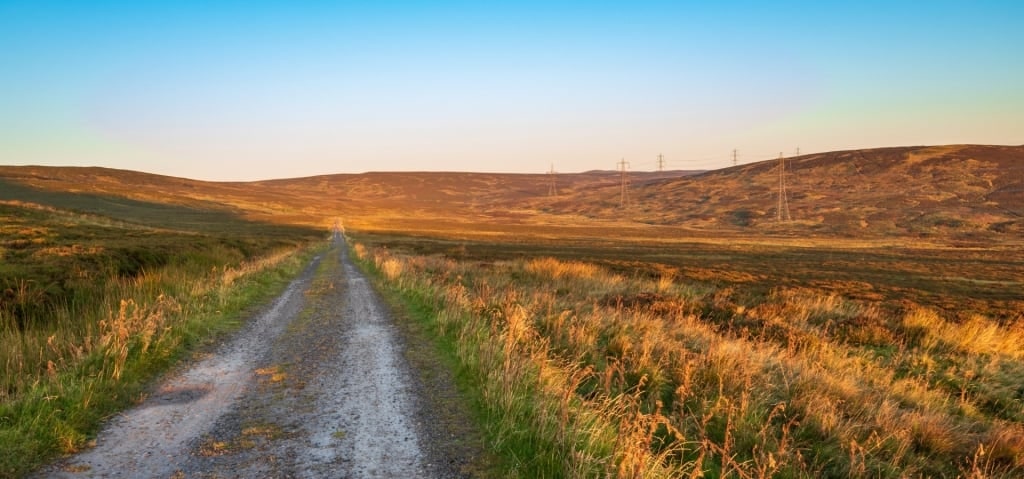
Dumgoyne Hill
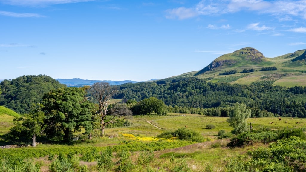
Dumgoyne Hill
Dumgoyne Hill’s rounded summit, visible from parts of Glasgow, is a local landmark. Native hikers call Dumgoyne a “wee hill”. More mound than mountain like Ben Lomond, little Dumgoyne can still be a challenge, especially if you climb the steep frontal path.
Dumgoyne Hill
Less sure-footed trekkers should consider the gentler route (take the left fork after a creek) as that trail gradually circles upward.
Hiking boots are a must to enjoy the panoply of Scottish hiking terrain from meadows to muddy bogs and, potentially, up slippery slopes that reward with sweeping views that Scotland is known for.
Locals recommend starting and ending the route near Glengoyne Distillery, so you reward your efforts with a dram or two of the distillery’s Highland single malt whisky.
Gowan Hill Heritage Trail
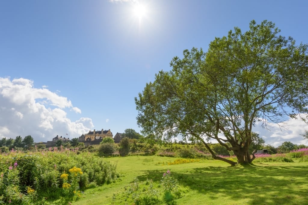
Gowan Hill
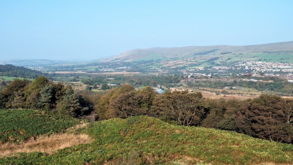
Situated between the medieval castle of Stirling Castle and the River Forth, Gowan Hill, a public park, lies below Stirling Castle’s slopes and includes both Gowan Hill and the smaller Mote Hill. The park’s nearly 25 acres contain history and scenic views.
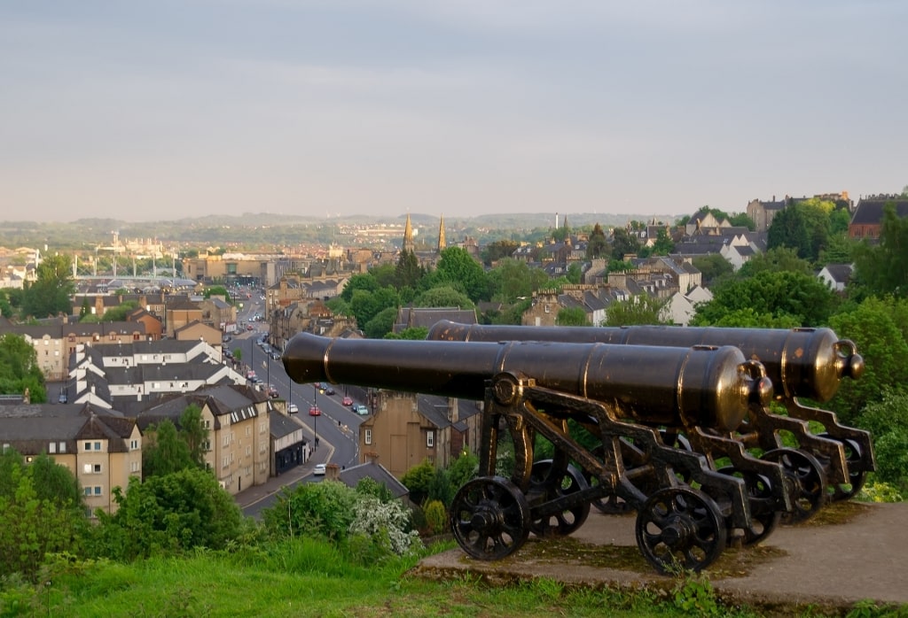
Mote Hill
Time-travel along the Gowan Hill Heritage Trail, passing the ruins of an iron age fort and cannons on Mote Hill, the site of so many executions that the place went by the nickname of Heiding Hill, or beheading hill.
Secured under a cage is a stone that may or may not be the actual 15th century block on which prisoners placed their necks prior to the executioner whacking their heads off with an ax. Nonetheless, at one time, such a stone saw a brisk business.
Among the most famous decapitations were those of Murdoch Stewart, Duke of Albany. The duke served as governor of Scotland when King James I was imprisoned. After being ransomed in 1424, the King ordered the execution of the duke and his two sons. All three lost their heads on Mote Hill.
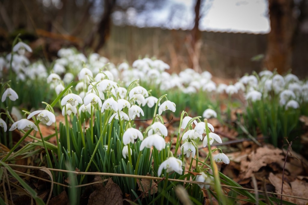
Snowdrops
Despite the bloody background, the Gowan Hill Heritage Trail is a pretty amble. Look for roe deer in the woods. In spring, daffodils, snowdrops, and violets add color to the paths, and in summer, tall, purple willowherb flowers bloom.
Read: Beautiful Castles in Glasgow
West Highland Way
West Highland Way
The West Highland Way is regarded as one of the best hiking trails in Scotland and is certainly one of the best hikes near Glasgow.
Along the trail’s 96 miles, you wind through moorlands, forests, and fields and along lakeshores and hills. The changing terrain and the views make the track a trekker’s delight.
To complete all of the West Highland Way takes about seven days, depending on your stamina and penchant for slow walking through gorgeous scenery. From Glasgow, however, you can board a train to Milngavie to enter the trail at its southern end to walk a much shorter stretch.
Kelvin Walkway
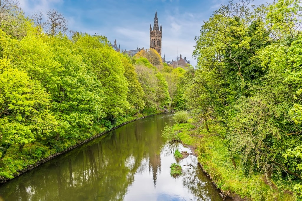
Kelvin Walkway
Enjoy river views along the Kelvin Walkway, a trail that connects to the West Highland Way at Milngavie. An easy respite in Glasgow, the six-mile round trip Kelvin Walkway follows the River Clyde, leading past several attractions.
Begin your walk at the Riverside Museum at the junction of the Kelvin and Clyde rivers. The facility honors transportation, showcasing cars, locomotives, skateboards, and other means of getting around, while explaining their engineering.
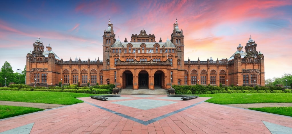
Kelvingrove Art Gallery and Museum
You also pass the Kelvingrove Art Gallery and Museum, whose eclectic collections include Rembrandts and French Impressionist paintings as well as fossils and suits of armor. For city lovers, the Kelvin Walkway is one of the best Glasgow hikes.
Forth and Clyde Canal Pathway
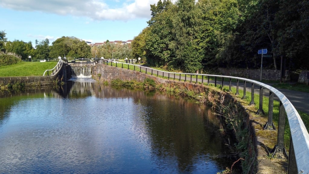
Clyde Canal Pathway
The 66-mile-long Forth and Clyde Canal Pathway connects Glasgow with Edinburgh, running along the Firth of Forth and the Firth of Clyde.
Construction on the towpath, part of the longer John Muir Way—one of the best hikes in the UK—began in 1768 and was completed in 1790. Boats carried goods to communities along the canal until railroads made the canal transport unprofitable.
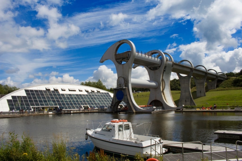
Falkirk Wheel
Despite the path’s popularity, it’s a peaceful respite from the city and affords the chance to watch the locks open for boats and barges. Highlights include the Kelvin Aqueduct and the Falkirk Wheel, a rotating boat lift that connects the Forth and Clyde Canal with the Union Canal.
The Falkirk Wheel, located equidistant from Glasgow and Edinburgh at 23 miles, is reputed to be the only rotating boat lift in the world. Consider starting your hike at the Wheel so you can learn about the structure’s engineering and take a brief barge trip on the canal.
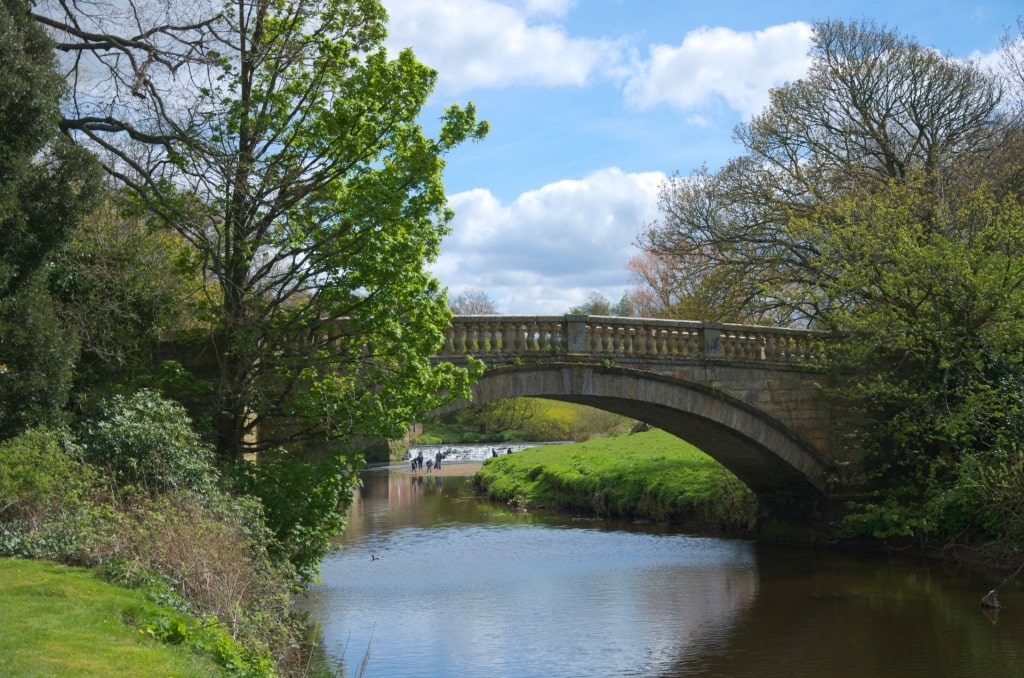
Pollok Country Park
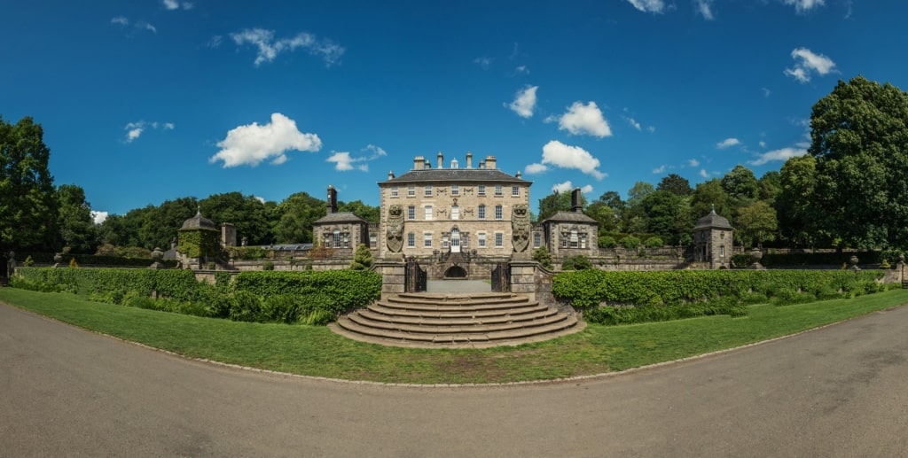
Pollok Country Park
Winner of awards for both Best Park in Britain and Best Park in Europe, Pollok Country Park, at 360 acres, reigns as Glasgow’s largest park.
Mountain bikers come here to practice on courses, while walkers enjoy the gardens and woodland paths. And everyone likes the 50 shaggy-haired Highland cattle that graze in the fields and the Clydesdale’s in the Old Stable Courtyard.
Meander gardens and enjoy peaceful walks along the riverbank and through the woods.
Pollok Country Park
The three-mile Heritage Trail loops you by many park highlights. See the mansion with its parterres and terraces, the stone bridge completed in 1758, the Old Stable, the walled vegetable garden, the Woodland Garden, bright with rhododendrons and flowers in season, and a pond.
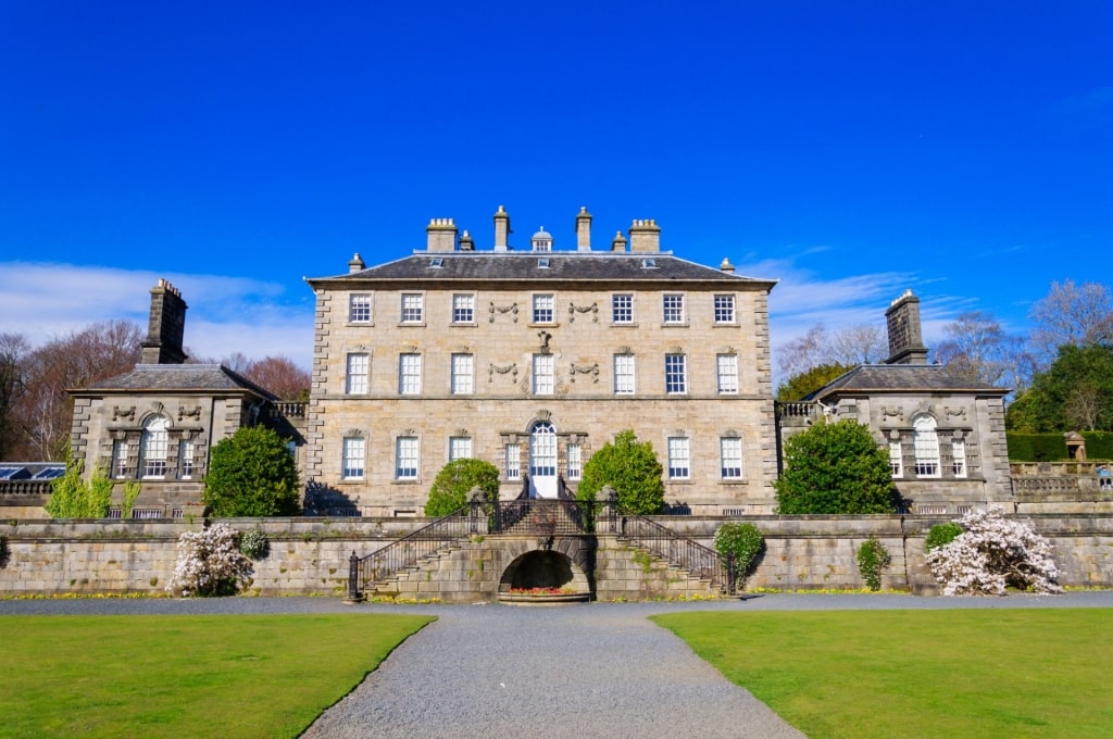
Pollok House
There’s art in the park too. Pollok House, a Georgian mansion built between 1747 and 1752 and home to the Maxwell family for centuries, is known for Spanish art. The Burrell Collection includes stained glass, tapestries, and 20 works by Edgar Degas, part of the museum’s noted French art collection.
Enjoy tea and pastries at Pollok House, as well as sandwiches, pizza, and salads at the Burrell Collection’s restaurant.
Darnley Country Park
Darnley Country Park
A 1,350-acre park along Glasgow’s southern border, Dams to Darnley features woods, grasslands, wetlands, farmlands, and water. Trails attract walkers, bicyclists, and horseback riders.
The seven-mile round-trip Spinal Path leads you through the park’s heart, passing waterfalls, a Victorian railway viaduct, a glen, and several reservoirs with nearby picnic tables.
Parts of the Darnley Mill path follow the tracks of the narrow gauge railway used by the former mines and lead to a pond. Bring binoculars to better view the herons, coots, teals, and whooper swans at the reservoirs and wetlands.
Clyde Muirshiel Regional Park
Clyde Muirshiel Regional Park
Clyde Muirshiel Regional Park, Scotland’s largest regional park, covers 108 square miles in Renfrewshire, Inverclyde, and North Ayrshire.
There are plenty of opportunities for hikes. Greenock Cut, voted one of Scotland’s top 50 historic walks, follows a seven-and-a-half-mile path originally built to supply fresh water to Greenock.
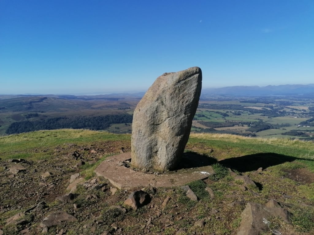
On the route, you pass through nine “kissing gates” and enjoy sweeping views of such Glasgow area icons as the Firth of Clyde, Loch Lomond, and Trossachs National Park. On the two-and-a-half-mile Windy Hill trail, traverse moorland to the hill, a manageable extinct volcano.
John Muir Way
Antonine Wall Trail, John Muir Way
The John Muir Way stretches across central Scotland for 134 miles. You encounter coastlines, canals, nature reserves, national parks, and cities along the colossal trail.
The path starts at Helensburgh’s waterfront and ends at Dunbar, the birthplace of naturalist John Muir, whose writings and advocacy helped establish National Parks in the U.S.
Near Glasgow, explore the Antonine Wall Trail. The ditches and ridges along the six-and-a-half-mile path reveal traces of two forts built by the Romans around 142 A.D. to mark its Empire’s northwest frontier.
Croy Hill
Pick up the trailhead at the Auchinstarry Marina on the Forth and Clyde Canal. You’ll have sweeping views of the surrounding landscape at the Croy Hill encampment, much like the Romans did.
It’s a climb to the highest point on the Antonine Wall, Bar Hill Fort, where you can make out the foundations for the headquarters building, a bathhouse, and a gate.
Glasgow
Ready to lace up your walking boots and explore the many trails in and around Glasgow? Browse our cruises to Glasgow and plan your Scottish escape.

